Van bank naar bank

Nauernasche Vaartdijk

Nederlands English
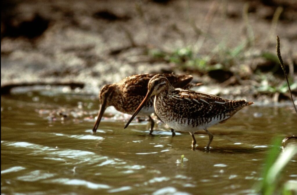
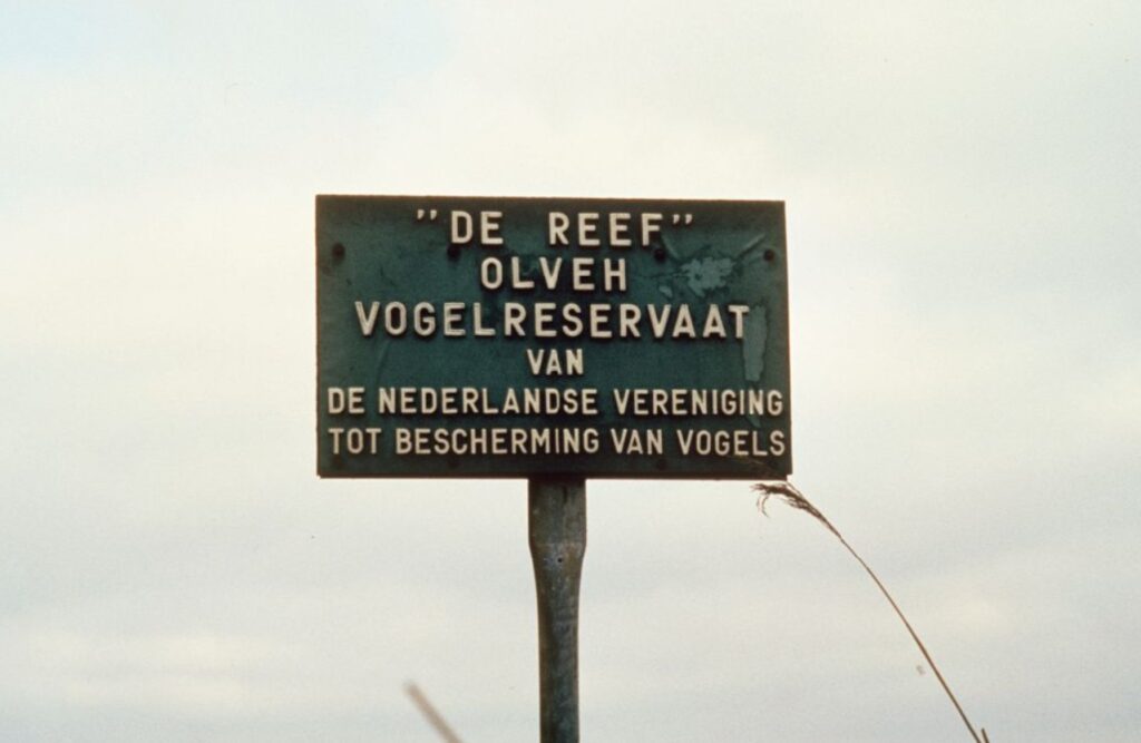
This particular corner of the Westzaan Polder is called the Reef and it is part of the Westzijderveld that used to be much bigger. The Westzijderveld is the historic name for the vast open space between Westzaan to the west and Zaandam, Koog aan de Zaan, Zaandijk and Wormerveer to the east. The name originates from the seventeenth century, at the same time as the name Oostzijderveld was coined for the fields to the east of the Zaan. These were never official names, but they have been widely used ever since, even in legal documents. Because of building activities in the last century the area was much diminished in size. The A8 motorway has cut the Westzijderveld in half and the northern part is now known as the Guisveld. The Westzijderveld once was crammed with windmills, especially saw mills that were later replaced by steam powered factories. All but one have now vanished.
There is an unequaled abundance of bird life in these fields. Migratory birds of the meadow build their nests here, while other species can be found in the bushes and reeds to the north that are left undisturbed. The wet and salty environment allows for a wide variety of rare plants as well.

Staatsbosbeheer, the National Forest Commission, looks after the Reef in cooperation with the Hoogheemraadschap, the polder-board that is responsible for the level of the waters.
In 1981 a growing concern about the fate of the environment and wild life in the Westzijderveld led to the Vereniging tot Ongeschonden Behoud Westzijderveld (Society to Keep the Westzijderveld Intact). In a series of court cases, they succeeded in preventing the city of Zaanstad of further infringements through building activities.
And area of 1057 hectares (2612 acres) of the Westzaan Polder is now protected as a bird sanctuary under the European Natura 2000 scheme.